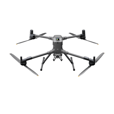
DJI Matrice 400
Built for large-scale mapping, stockpile measurement, infrastructure inspection and demanding mine-site missions.
 Request a quote ↗
Aerial intelligence for mining
Capture active sites faster and reduce unnecessary exposure while producing repeatable information for planning, reconciliation, safety and operations. We support once-off surveys and recurring mine intelligence programmes.
Aircraft for this industry
These platforms are strong starting points. We confirm the final aircraft, sensors, batteries, software and support package against your site and required outputs.
Built for large-scale mapping, stockpile measurement, infrastructure inspection and demanding mine-site missions.
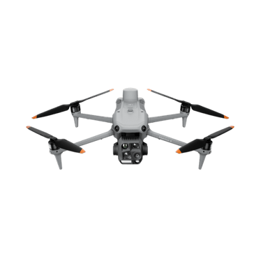
Rapid visual and thermal inspection for plant, conveyors, security incidents and hard-to-reach assets.
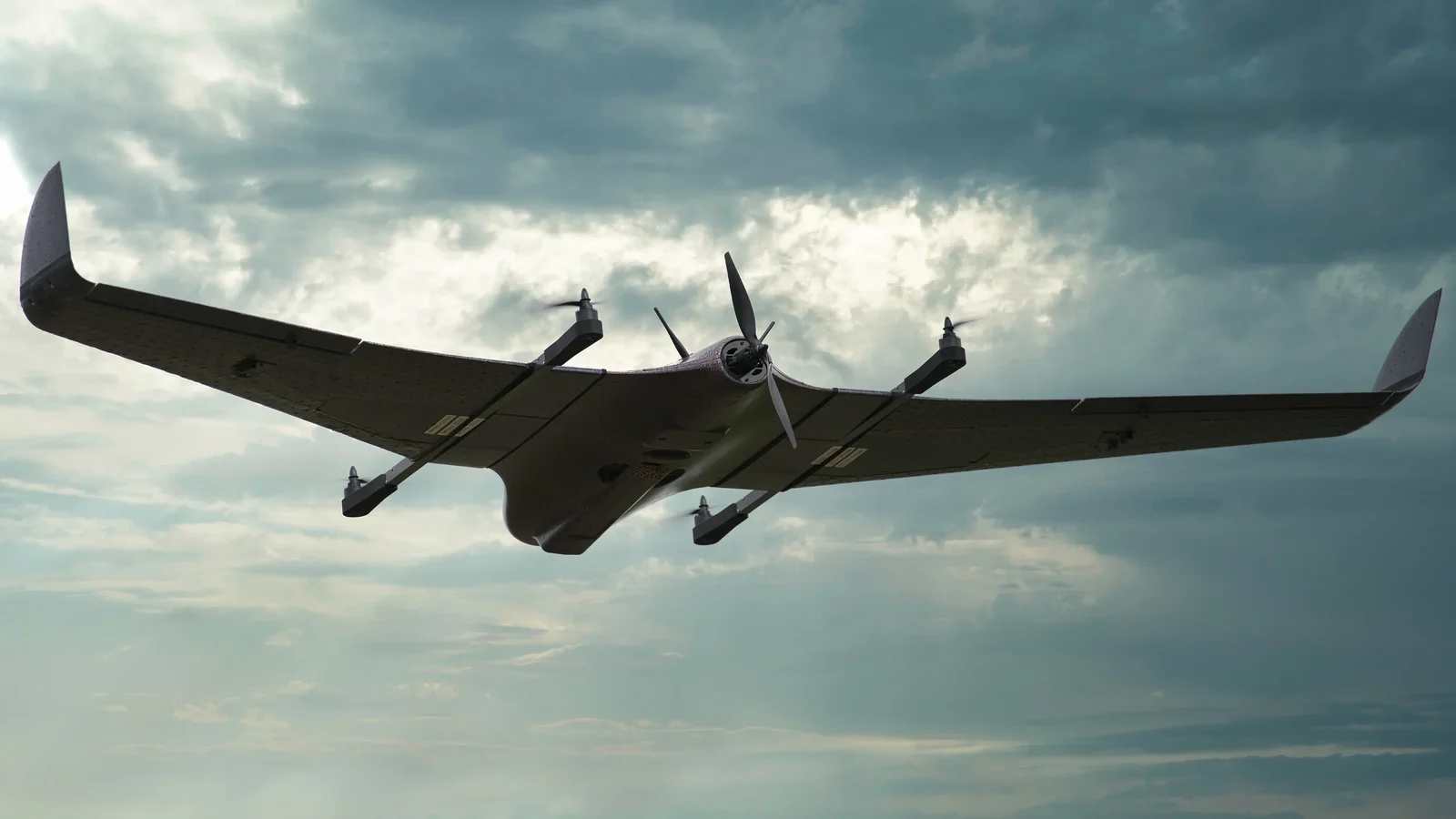
Runway-free fixed-wing efficiency for extensive pits, corridors, rehabilitation areas and perimeter monitoring.
What we deliver
Every engagement starts with the operational requirement. We then align aircraft, sensors, people, procedures and outputs to the result your organisation needs.
Repeatable mapping and measurements aligned to operational reporting cycles.
Discuss this requirement ↗Visual and thermal examination of plants, conveyors, roofs, power assets and inaccessible areas.
Discuss this requirement ↗VTOL and enterprise platforms for large sites, perimeter awareness and environmental observation.
Discuss this requirement ↗Frequently asked questions
Yes. Properly planned photogrammetry can produce repeatable stockpile volume estimates and visual records for reconciliation workflows.
We plan each mission around site rules, aviation requirements, hazards, access controls and the mine’s safety procedures.
South Africa’s complete drone partner
Equipment, operations, training and support from one accountable team.
Start your enquiry ↗