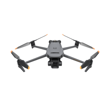
DJI Mavic 3 Enterprise
Fast survey-grade capture for construction progress, earthworks, orthomosaics and volume calculations.
 Request a quote ↗
Survey-grade aerial intelligence
Turn aerial capture into measurable project intelligence. We support topographic mapping, construction monitoring, stockpile measurement, corridor surveys and asset documentation with repeatable workflows and decision-ready outputs.

Aircraft for this industry
These platforms are strong starting points. We confirm the final aircraft, sensors, batteries, software and support package against your site and required outputs.
Fast survey-grade capture for construction progress, earthworks, orthomosaics and volume calculations.
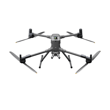
Heavy-payload capability for complex sites, advanced sensors and demanding engineering projects.
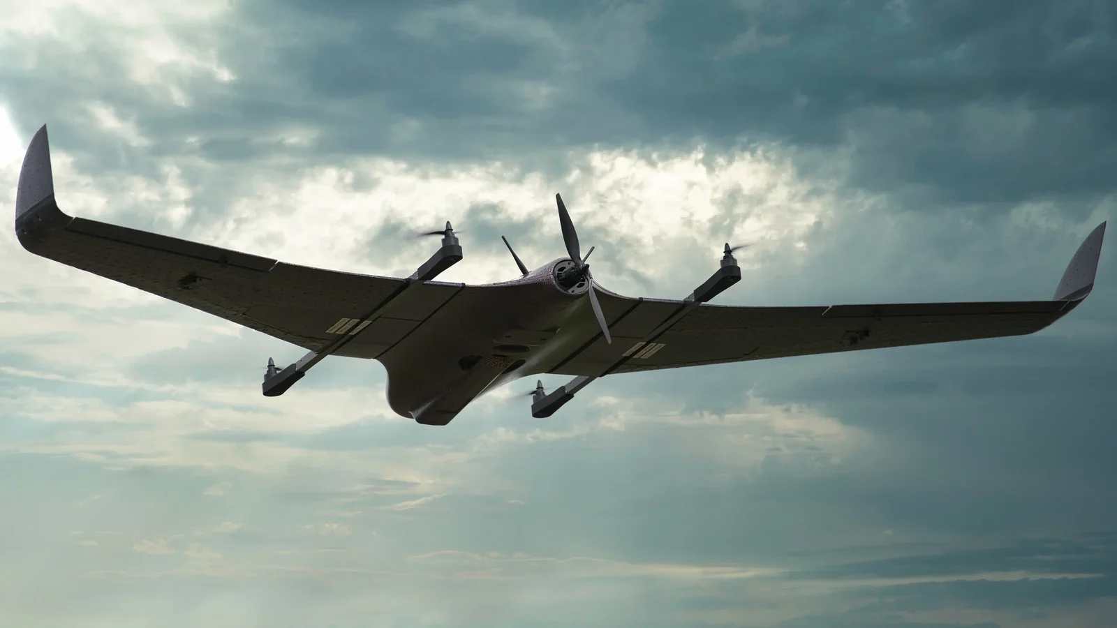
Long-endurance coverage for corridors, large estates, mines and infrastructure routes without a runway.
What we deliver
Every engagement starts with the operational requirement. We then align aircraft, sensors, people, procedures and outputs to the result your organisation needs.
Frequent site records, progress comparisons and earthworks information for project teams.
Discuss this requirement ↗Stockpile volumes, pit mapping and operational imagery with reduced exposure to active areas.
Discuss this requirement ↗Aerial base mapping for planning, corridors, estates and infrastructure documentation.
Discuss this requirement ↗Find the right solution
Drone surveying combines planned aerial capture with positioning, photogrammetry and quality control to produce useful maps, models and measurements.
Topographic mapping, orthomosaics, terrain models, stockpile volumes and construction progress records.
Ask our team ↗RTK aircraft, mapping payloads, batteries, software and training specified as a complete working system.
Ask our team ↗Aerial mapping can document access, terrain and surface context; magnetic and geophysical UAV surveys address specialised subsurface exploration objectives.
Ask our team ↗Frequently asked questions
They can support engineering workflows when the capture method, ground control and accuracy requirements are agreed in advance. Registered professional sign-off may be required for specific statutory work.
Typical outputs include orthomosaics, point clouds, elevation models, contours, 3D models and volume reports, depending on the project.
South Africa’s complete drone partner
Equipment, operations, training and support from one accountable team.
Start your enquiry ↗